End of the road at Cantrell Gate
Introduction
The photograph on this page of End of the road at Cantrell Gate by jeff collins as part of the Geograph project.
The Geograph project started in 2005 with the aim of publishing, organising and preserving representative images for every square kilometre of Great Britain, Ireland and the Isle of Man.

There are currently over 7.5m images from over 14,400 individuals and you can help contribute to the project by visiting https://www.geograph.org.uk
End of the road at Cantrell Gate
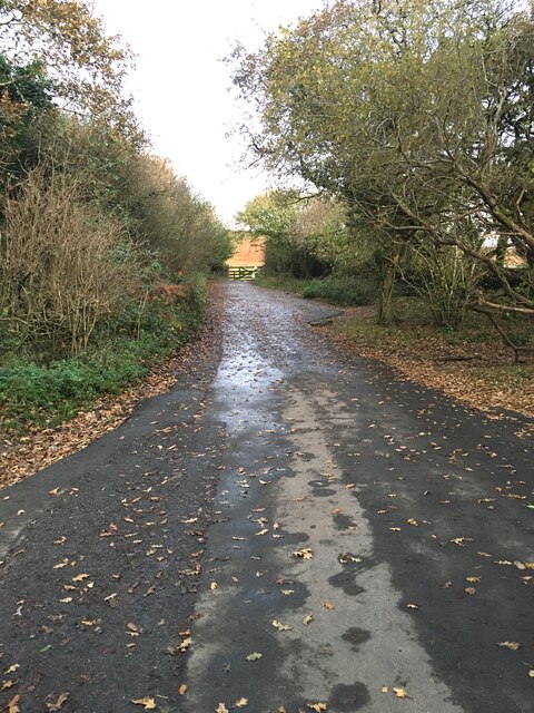
Image: © jeff collins Taken: 12 Nov 2020
Through the gate and you are on the lower slopes of Western Beacon. There is parking for ten or so cars here.
Images are licensed for reuse under creativecommons.org/licenses/by-sa/2.0
Image Location
Latitude
50.399052
Longitude
-3.889163