A stream along Stone Allerton Drove
Introduction
The photograph on this page of A stream along Stone Allerton Drove by Neil Owen as part of the Geograph project.
The Geograph project started in 2005 with the aim of publishing, organising and preserving representative images for every square kilometre of Great Britain, Ireland and the Isle of Man.

There are currently over 7.5m images from over 14,400 individuals and you can help contribute to the project by visiting https://www.geograph.org.uk
A stream along Stone Allerton Drove
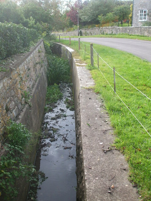
Image: © Neil Owen Taken: 11 Oct 2020
The village of Stone Allerton lies just above the Somerset Levels. Even though the land is almost flat, there are plenty of springs, drainage ditches and rhynes riddling the place.
Images are licensed for reuse under creativecommons.org/licenses/by-sa/2.0
Image Location
Latitude
51.25679
Longitude
-2.861334