Approach to Friarton Bridge
Introduction
The photograph on this page of Approach to Friarton Bridge by Karen Vernon as part of the Geograph project.
The Geograph project started in 2005 with the aim of publishing, organising and preserving representative images for every square kilometre of Great Britain, Ireland and the Isle of Man.

There are currently over 7.5m images from over 14,400 individuals and you can help contribute to the project by visiting https://www.geograph.org.uk
Approach to Friarton Bridge
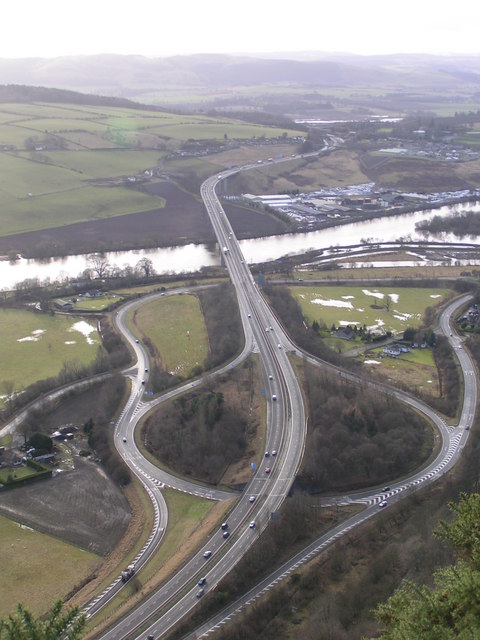
Image: © Karen Vernon Taken: 19 Jan 2008
The slip roads on and off the Friarton Bridge are easily seen from above.
Images are licensed for reuse under creativecommons.org/licenses/by-sa/2.0
Image Location


Leaflet Map data © OpenStreetMap
Latitude
56.383376
Longitude
-3.406167