Court Marsh Road, Pottery Grove
Introduction
The photograph on this page of Court Marsh Road, Pottery Grove by John Baker as part of the Geograph project.
The Geograph project started in 2005 with the aim of publishing, organising and preserving representative images for every square kilometre of Great Britain, Ireland and the Isle of Man.

There are currently over 7.5m images from over 14,400 individuals and you can help contribute to the project by visiting https://www.geograph.org.uk
Court Marsh Road, Pottery Grove
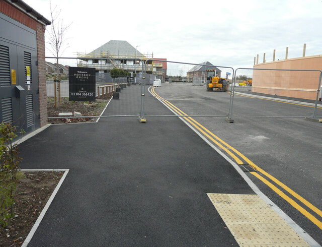
Image: © John Baker Taken: 18 Oct 2020
Planning permission has been granted by Dover District Council under application number DOV/15/01290 for an “outline application for a mixed-use development incorporating 142 residential units, 960sqm B1 Office, 370sqm of A1, 280sqm of D1 and a link road between Albert Road and Southwall Road (some matters reserved)”. Pottery Grove is the name, which has been given to this housing estate.
Images are licensed for reuse under creativecommons.org/licenses/by-sa/2.0
Image Location
Latitude
51.2254
Longitude
1.396958