Darrell House, Darrell Street, Brunswick Village
Introduction
The photograph on this page of Darrell House, Darrell Street, Brunswick Village by Geoff Holland as part of the Geograph project.
The Geograph project started in 2005 with the aim of publishing, organising and preserving representative images for every square kilometre of Great Britain, Ireland and the Isle of Man.

There are currently over 7.5m images from over 14,400 individuals and you can help contribute to the project by visiting https://www.geograph.org.uk
Darrell House, Darrell Street, Brunswick Village
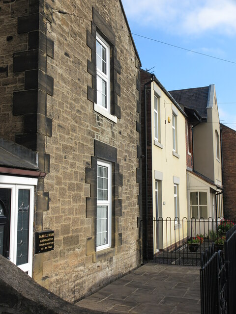
Image: © Geoff Holland Taken: 10 Nov 2020
At the time of the publication of the 1921 edition of the Ordnance Survey Six-Inch map of the area the village of Brunswick, as such, did not exist. The area where the village now stands was occupied by Dinnington Colliery and numerous rows of miners dwellings. This property was part of the colliery. The first deep mine at the site was sunk in 1867. At its peak the colliery employed over 1000 people, but closed in February 1960.The village was initially known as Dinnington Colliery, but its name was later changed to Brunswick. The village is half in the Metropolitan Borough of North Tyneside and half in the Metropolitan Borough of Newcastle upon Tyne.
Images are licensed for reuse under creativecommons.org/licenses/by-sa/2.0
Image Location
Latitude
55.047807
Longitude
-1.6364