Back of Tesco's near the River Bann, Portadown
Introduction
The photograph on this page of Back of Tesco's near the River Bann, Portadown by P Flannagan as part of the Geograph project.
The Geograph project started in 2005 with the aim of publishing, organising and preserving representative images for every square kilometre of Great Britain, Ireland and the Isle of Man.

There are currently over 7.5m images from over 14,400 individuals and you can help contribute to the project by visiting https://www.geograph.org.uk
Back of Tesco's near the River Bann, Portadown
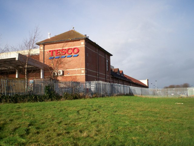
Image: © P Flannagan Taken: 24 Jan 2008
Some years ago, the level of the river was lowered and the banks were raised to reduce the extent of flooding on the surrounding land. The reduction in flooding allowed for land to be developed. The Tesco Superstore was built on such land.
Images are licensed for reuse under creativecommons.org/licenses/by-sa/2.0
Image Location
Latitude
54.42095
Longitude
-6.438327