Blagdon Terrace, Seaton Burn
Introduction
The photograph on this page of Blagdon Terrace, Seaton Burn by Geoff Holland as part of the Geograph project.
The Geograph project started in 2005 with the aim of publishing, organising and preserving representative images for every square kilometre of Great Britain, Ireland and the Isle of Man.

There are currently over 7.5m images from over 14,400 individuals and you can help contribute to the project by visiting https://www.geograph.org.uk
Blagdon Terrace, Seaton Burn
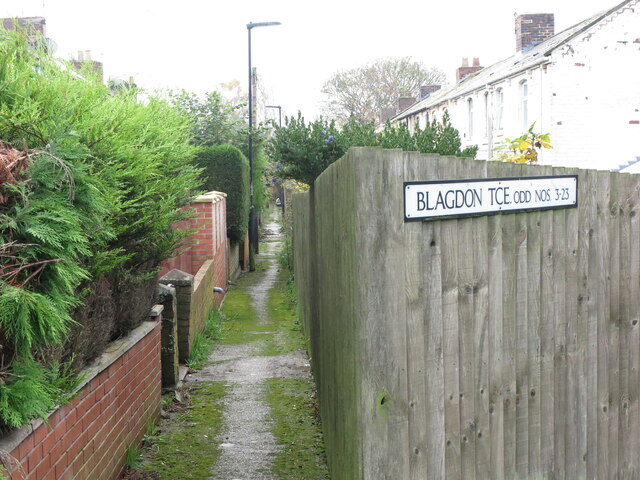
Image: © Geoff Holland Taken: 10 Nov 2020
The majority of the rows of dwellings, provided by pit owners for their workers, which once stood here have long since disappeared. However, Blagdon Terrace remains and this very narrow pathway gives access to the dwellings.
Images are licensed for reuse under creativecommons.org/licenses/by-sa/2.0
Image Location
Latitude
55.05776
Longitude
-1.629265