Signpost, Seaton Burn Waggonway, Seaton Burn
Introduction
The photograph on this page of Signpost, Seaton Burn Waggonway, Seaton Burn by Geoff Holland as part of the Geograph project.
The Geograph project started in 2005 with the aim of publishing, organising and preserving representative images for every square kilometre of Great Britain, Ireland and the Isle of Man.

There are currently over 7.5m images from over 14,400 individuals and you can help contribute to the project by visiting https://www.geograph.org.uk
Signpost, Seaton Burn Waggonway, Seaton Burn
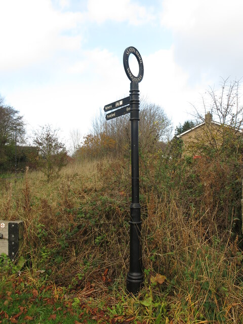
Image: © Geoff Holland Taken: 10 Nov 2020
This signpost points the way to Ponteland along the route of the Reivers Way, a brace of waymarked bi-directional coast to coast cycle routes between the North and Irish Seas. There are two types of routes, an off-road route and an on-road route. At this point, the route follows the course of the old Seaton Burn Waggonway.
Images are licensed for reuse under creativecommons.org/licenses/by-sa/2.0
Image Location
Latitude
55.056135
Longitude
-1.626776