Private track heading east through woodland
Introduction
The photograph on this page of Private track heading east through woodland by Christine Johnstone as part of the Geograph project.
The Geograph project started in 2005 with the aim of publishing, organising and preserving representative images for every square kilometre of Great Britain, Ireland and the Isle of Man.

There are currently over 7.5m images from over 14,400 individuals and you can help contribute to the project by visiting https://www.geograph.org.uk
Private track heading east through woodland
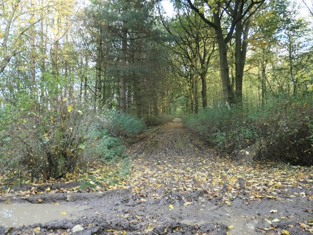
Image: © Christine Johnstone Taken: 31 Oct 2020
Once the long east-west avenue to Gopsall Hall. The house was built in 1750 and demolished 200 years later.
Images are licensed for reuse under creativecommons.org/licenses/by-sa/2.0
Image Location


Leaflet Map data © OpenStreetMap
Latitude
52.655194
Longitude
-1.46378