Path alongside former playing fields
Introduction
The photograph on this page of Path alongside former playing fields by Adrian Benn as part of the Geograph project.
The Geograph project started in 2005 with the aim of publishing, organising and preserving representative images for every square kilometre of Great Britain, Ireland and the Isle of Man.

There are currently over 7.5m images from over 14,400 individuals and you can help contribute to the project by visiting https://www.geograph.org.uk
Path alongside former playing fields
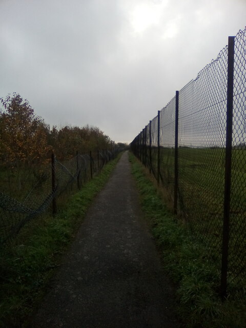
Image: © Adrian Benn Taken: 9 Nov 2020
A path alongside the high perimeter fence of Thurrock Technical College's playing fields. The college has been demolished and housing erected on the site. Trees had been planted in the grassy area on view here when the houses were built but these have disappeared on quite a grand scale. Broken remnants of the plastic protection given to each sapling is sometimes visible amongst the grass.
Images are licensed for reuse under creativecommons.org/licenses/by-sa/2.0
Image Location
Latitude
51.484164
Longitude
0.357668