A panoramic view down the road to Healeyfield
Introduction
The photograph on this page of A panoramic view down the road to Healeyfield by Robert Graham as part of the Geograph project.
The Geograph project started in 2005 with the aim of publishing, organising and preserving representative images for every square kilometre of Great Britain, Ireland and the Isle of Man.

There are currently over 7.5m images from over 14,400 individuals and you can help contribute to the project by visiting https://www.geograph.org.uk
A panoramic view down the road to Healeyfield
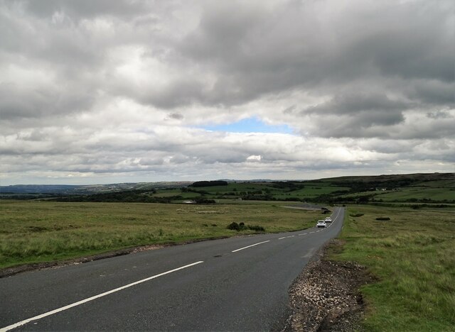
Image: © Robert Graham Taken: 23 Jun 2020
From the road just east of the Honey Hill water works, there is a great view over to the Derwent Valley. A high vantage point here at 316m, or 1000 feet.
Images are licensed for reuse under creativecommons.org/licenses/by-sa/2.0
Image Location
Latitude
54.818181
Longitude
-1.914534