Cycle lanes across Moortown roundabout
Introduction
The photograph on this page of Cycle lanes across Moortown roundabout by Stephen Craven as part of the Geograph project.
The Geograph project started in 2005 with the aim of publishing, organising and preserving representative images for every square kilometre of Great Britain, Ireland and the Isle of Man.

There are currently over 7.5m images from over 14,400 individuals and you can help contribute to the project by visiting https://www.geograph.org.uk
Cycle lanes across Moortown roundabout
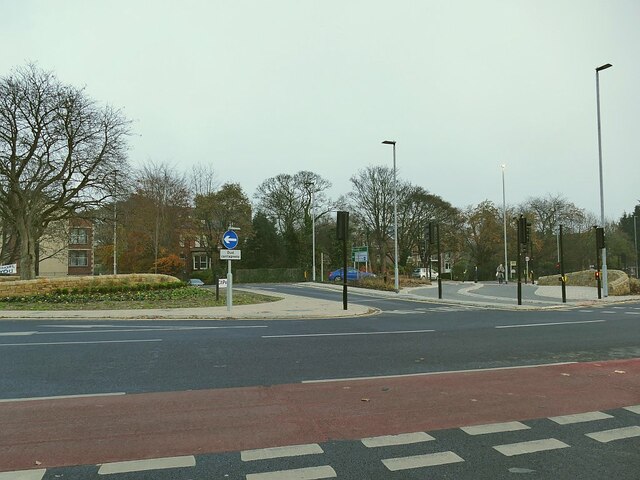
Image: © Stephen Craven Taken: 7 Nov 2020
Moortown roundabout is at the junction of the A61 with three other roads. It is a complicated junction, close to the Moor Allerton roundabout where the A61 meets the ring road, and until recently was regarded as a barrier to active travel. See Image for a view from several years ago. Major investment by the city council in 2019/20 has provided safe cycle lanes and pedestrian/cycle crossings (toucans) throughout the double junction. But I still found it confusing the first time I tried to use the cycle lanes.
Images are licensed for reuse under creativecommons.org/licenses/by-sa/2.0
Image Location
Latitude
53.846788
Longitude
-1.534859