Moorfield (housing), Stonegate Road
Introduction
The photograph on this page of Moorfield (housing), Stonegate Road by Stephen Craven as part of the Geograph project.
The Geograph project started in 2005 with the aim of publishing, organising and preserving representative images for every square kilometre of Great Britain, Ireland and the Isle of Man.

There are currently over 7.5m images from over 14,400 individuals and you can help contribute to the project by visiting https://www.geograph.org.uk
Moorfield (housing), Stonegate Road
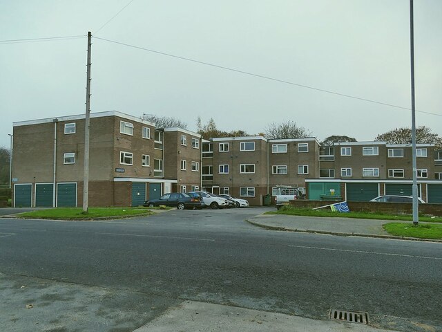
Image: © Stephen Craven Taken: 7 Nov 2020
The name comes from the farm that previously occupied the site. The flats are provided with a generous amount of parking, including both integral and separate garages.
Images are licensed for reuse under creativecommons.org/licenses/by-sa/2.0
Image Location
Latitude
53.846163
Longitude
-1.53593