Monitoring Borehole on the edge of Town
Introduction
The photograph on this page of Monitoring Borehole on the edge of Town by Des Blenkinsopp as part of the Geograph project.
The Geograph project started in 2005 with the aim of publishing, organising and preserving representative images for every square kilometre of Great Britain, Ireland and the Isle of Man.

There are currently over 7.5m images from over 14,400 individuals and you can help contribute to the project by visiting https://www.geograph.org.uk
Monitoring Borehole on the edge of Town
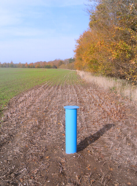
Image: © Des Blenkinsopp Taken: 7 Nov 2020
The first field past the houses on the north side of Wallingford. Nowhere round here is safe and site investigation seems to have already started, either for yet more houses or maybe a gravel pit.
Images are licensed for reuse under creativecommons.org/licenses/by-sa/2.0
Image Location
Latitude
51.609182
Longitude
-1.126427