The Essex Way heading south from Ramsey
Introduction
The photograph on this page of The Essex Way heading south from Ramsey by Tim Heaton as part of the Geograph project.
The Geograph project started in 2005 with the aim of publishing, organising and preserving representative images for every square kilometre of Great Britain, Ireland and the Isle of Man.

There are currently over 7.5m images from over 14,400 individuals and you can help contribute to the project by visiting https://www.geograph.org.uk
The Essex Way heading south from Ramsey
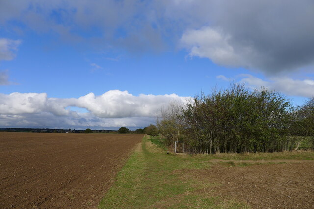
Image: © Tim Heaton Taken: 17 Oct 2020
The Way continues its course across the north-eastern tip of the Tendring Peninsula. Having left the Stour estuary, it now heads towards the North Sea.
Images are licensed for reuse under creativecommons.org/licenses/by-sa/2.0
Image Location
Latitude
51.920664
Longitude
1.226097