Elmswell: view south to the church from the railway
Introduction
The photograph on this page of Elmswell: view south to the church from the railway by Christopher Hilton as part of the Geograph project.
The Geograph project started in 2005 with the aim of publishing, organising and preserving representative images for every square kilometre of Great Britain, Ireland and the Isle of Man.

There are currently over 7.5m images from over 14,400 individuals and you can help contribute to the project by visiting https://www.geograph.org.uk
Elmswell: view south to the church from the railway
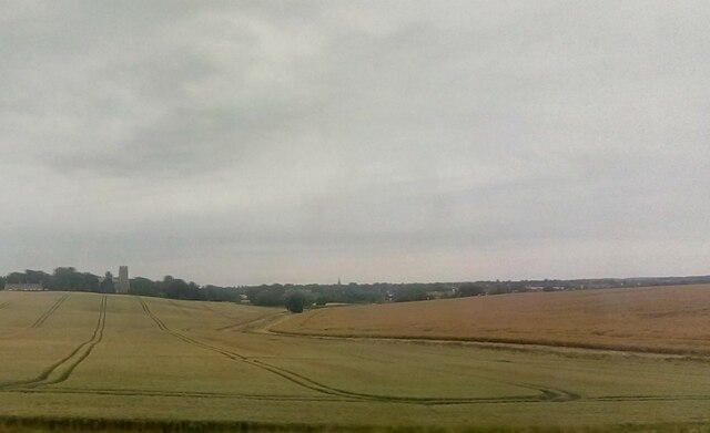
Image: © Christopher Hilton Taken: 9 Jul 2019
The church, on the edge of the village, is seen clearly down the valley from the railway just to the west of the station. Beyond Elmswell can be seen the spire of Woolpit church, on the other side of the A14 that parallels the railway line.
Images are licensed for reuse under creativecommons.org/licenses/by-sa/2.0
Image Location
Latitude
52.239286
Longitude
0.902124