View across to Dairy House, south of Mistley
Introduction
The photograph on this page of View across to Dairy House, south of Mistley by Tim Heaton as part of the Geograph project.
The Geograph project started in 2005 with the aim of publishing, organising and preserving representative images for every square kilometre of Great Britain, Ireland and the Isle of Man.

There are currently over 7.5m images from over 14,400 individuals and you can help contribute to the project by visiting https://www.geograph.org.uk
View across to Dairy House, south of Mistley
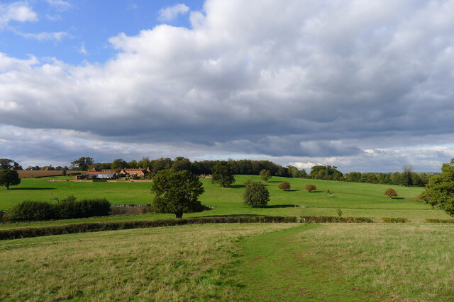
Image: © Tim Heaton Taken: 16 Oct 2020
Having missed the turning of the Essex Way, which turns right in the middle distance. Dairy House farm and cottages are listed Grade II, circa 1777 https://historicengland.org.uk/listing/the-list/list-entry/1260993.
Images are licensed for reuse under creativecommons.org/licenses/by-sa/2.0
Image Location
Latitude
51.939385
Longitude
1.074503