East Pallant
Introduction
The photograph on this page of East Pallant by Simon Carey as part of the Geograph project.
The Geograph project started in 2005 with the aim of publishing, organising and preserving representative images for every square kilometre of Great Britain, Ireland and the Isle of Man.

There are currently over 7.5m images from over 14,400 individuals and you can help contribute to the project by visiting https://www.geograph.org.uk
East Pallant
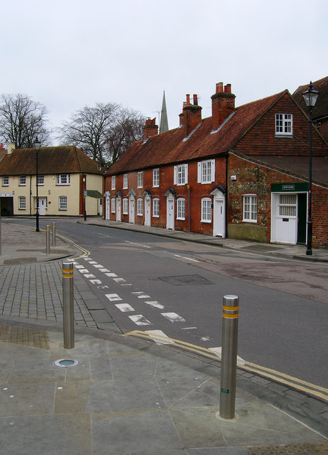
Image: © Simon Carey Taken: 20 Jan 2008
The eastern end of East Pallant part of a small Georgian suburb within the city walls known as The Pallants. These cottages would have originally been built as service residences. Taken from the corner of Friary Lane.
Images are licensed for reuse under creativecommons.org/licenses/by-sa/2.0
Image Location
Latitude
50.835416
Longitude
-0.776691