Former playground, North Military Road
Introduction
The photograph on this page of Former playground, North Military Road by John Baker as part of the Geograph project.
The Geograph project started in 2005 with the aim of publishing, organising and preserving representative images for every square kilometre of Great Britain, Ireland and the Isle of Man.

There are currently over 7.5m images from over 14,400 individuals and you can help contribute to the project by visiting https://www.geograph.org.uk
Former playground, North Military Road
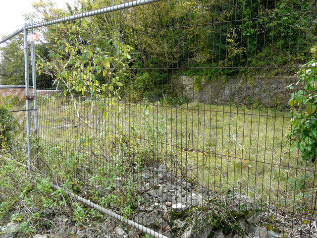
Image: © John Baker Taken: 17 Oct 2020
Planning permission has been granted by Dover District Council under application number DOV/19/00287 for the “erection of a building containing 20 apartments with 14 car-parking spaces at ground floor, erection of a retaining wall following demolition of existing retaining wall”. This view shows the Image from across the road.
Images are licensed for reuse under creativecommons.org/licenses/by-sa/2.0
Image Location
Latitude
51.12495
Longitude
1.308242