Muttonhole Road closed
Introduction
The photograph on this page of Muttonhole Road closed by Alec MacKinnon as part of the Geograph project.
The Geograph project started in 2005 with the aim of publishing, organising and preserving representative images for every square kilometre of Great Britain, Ireland and the Isle of Man.

There are currently over 7.5m images from over 14,400 individuals and you can help contribute to the project by visiting https://www.geograph.org.uk
Muttonhole Road closed
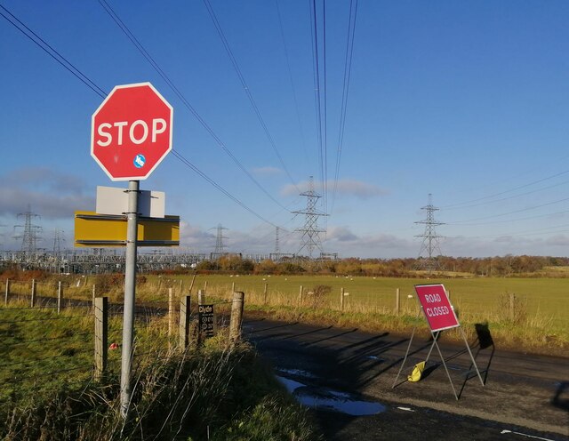
Image: © Alec MacKinnon Taken: 5 Nov 2020
Taken at the crossroads where Muttonhole Road meets Meikle Earnock Road, this shows Muttonhole Road currently closed until 16 November for Scottish Water purposes.
Images are licensed for reuse under creativecommons.org/licenses/by-sa/2.0
Image Location
Latitude
55.74879
Longitude
-4.079199