Houses on Clandown Rd
Introduction
The photograph on this page of Houses on Clandown Rd by Nigel Mykura as part of the Geograph project.
The Geograph project started in 2005 with the aim of publishing, organising and preserving representative images for every square kilometre of Great Britain, Ireland and the Isle of Man.

There are currently over 7.5m images from over 14,400 individuals and you can help contribute to the project by visiting https://www.geograph.org.uk
Houses on Clandown Rd
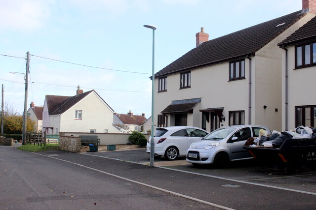
Image: © Nigel Mykura Taken: 2 Nov 2020
Clandown Rd runs east from the Salisbury Rd, the B3355, on the southern edge of Paulton to Springfield farm where it meets Monger Lane and just beyond which it splits into Lovers Lane and Water Lane.
Images are licensed for reuse under creativecommons.org/licenses/by-sa/2.0
Image Location
Latitude
51.299832
Longitude
-2.493652