Healeyfield farmstead
Introduction
The photograph on this page of Healeyfield farmstead by Robert Graham as part of the Geograph project.
The Geograph project started in 2005 with the aim of publishing, organising and preserving representative images for every square kilometre of Great Britain, Ireland and the Isle of Man.

There are currently over 7.5m images from over 14,400 individuals and you can help contribute to the project by visiting https://www.geograph.org.uk
Healeyfield farmstead
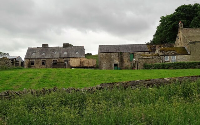
Image: © Robert Graham Taken: 23 Jun 2020
This farm stands on Healeyfield Lane. The settlement goes back to the middle ages, but the present farm is 19th century. Probably all built at the same time as a planned farmstead in Victorian times.
Images are licensed for reuse under creativecommons.org/licenses/by-sa/2.0
Image Location
Latitude
54.82814
Longitude
-1.893343