
Great Swinburne from Ox Hills
Introduction
The photograph on this page of Great Swinburne from Ox Hills by Andrew Curtis as part of the Geograph project.
The Geograph project started in 2005 with the aim of publishing, organising and preserving representative images for every square kilometre of Great Britain, Ireland and the Isle of Man.

There are currently over 7.5m images from over 14,400 individuals and you can help contribute to the project by visiting https://www.geograph.org.uk
Great Swinburne from Ox Hills
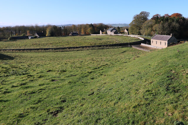
Image: © Andrew Curtis Taken: 4 Nov 2020
This is the site of the deserted medieval village of West Swinburne. It was first mentioned in 1296, but was destroyed by the Scots in the 1320s. It was completely deserted in the late 16th century, but some people had moved back by the 17th century. Now all that remains of the settlement are a farm and five cottages. Keys to the Past: http://www.keystothepast.info/article/10339/Site-Details?PRN=N9222 https://web.archive.org/web/20201105185147/http://www.keystothepast.info/article/10339/Site-Details?PRN=N9222
Images are licensed for reuse under creativecommons.org/licenses/by-sa/2.0
Image Location

Latitude
55.073917
Longitude
-2.101767