Reed beds
Introduction
The photograph on this page of Reed beds by Jonathan Wilkins as part of the Geograph project.
The Geograph project started in 2005 with the aim of publishing, organising and preserving representative images for every square kilometre of Great Britain, Ireland and the Isle of Man.

There are currently over 7.5m images from over 14,400 individuals and you can help contribute to the project by visiting https://www.geograph.org.uk
Reed beds
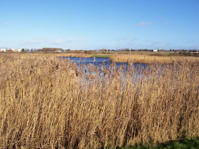
Image: © Jonathan Wilkins Taken: 24 Jan 2008
Extensive reed-beds fringe the lake in the park, with the A55 dual-carriageway in the distance. The water and reeds are among the last remnants of the salt-marsh and dune-slacks which pre-dated the modern urbanised coastline.
Images are licensed for reuse under creativecommons.org/licenses/by-sa/2.0
Image Location


Leaflet Map data © OpenStreetMap
Latitude
53.291086
Longitude
-3.587174