Portishead, The Green Cottage
Introduction
The photograph on this page of Portishead, The Green Cottage by Brian Westlake as part of the Geograph project.
The Geograph project started in 2005 with the aim of publishing, organising and preserving representative images for every square kilometre of Great Britain, Ireland and the Isle of Man.

There are currently over 7.5m images from over 14,400 individuals and you can help contribute to the project by visiting https://www.geograph.org.uk
Portishead, The Green Cottage
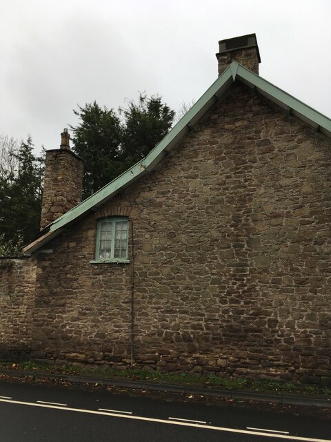
Image: © Brian Westlake Taken: 30 Oct 2020
The cottage carries an Ordnance Survey cut bench mark made for the First Primary Levelling of England and Wales (1840-1860). It is mark No.44 on a branch levelling from Bristol to Portishead and part of a levelling from Bristol to Plymouth. See https://www.geograph.org.uk/photo/6662679 for a close-up and https://www.bench-marks.org.uk/bm42640 for details of the mark.
Images are licensed for reuse under creativecommons.org/licenses/by-sa/2.0
Image Location
Latitude
51.476151
Longitude
-2.763516