River Brue, Bruton
Introduction
The photograph on this page of River Brue, Bruton by Maigheach-gheal as part of the Geograph project.
The Geograph project started in 2005 with the aim of publishing, organising and preserving representative images for every square kilometre of Great Britain, Ireland and the Isle of Man.

There are currently over 7.5m images from over 14,400 individuals and you can help contribute to the project by visiting https://www.geograph.org.uk
River Brue, Bruton
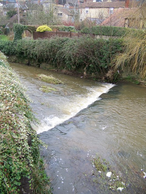
Image: © Maigheach-gheal Taken: 22 Jan 2008
The River Brue originates in the parish of Brewham, close to the border with Wiltshire in the northeast of Somerset, and on the westernmost edge of the high land of Cranborne Chase and the West Wiltshire Downs.
Images are licensed for reuse under creativecommons.org/licenses/by-sa/2.0
Image Location
Latitude
51.111793
Longitude
-2.453218