West end of the Lydgate Unitarian chapel, New Mill
Introduction
The photograph on this page of West end of the Lydgate Unitarian chapel, New Mill by Humphrey Bolton as part of the Geograph project.
The Geograph project started in 2005 with the aim of publishing, organising and preserving representative images for every square kilometre of Great Britain, Ireland and the Isle of Man.

There are currently over 7.5m images from over 14,400 individuals and you can help contribute to the project by visiting https://www.geograph.org.uk
West end of the Lydgate Unitarian chapel, New Mill
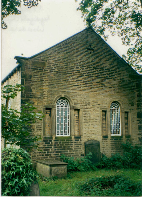
Image: © Humphrey Bolton Taken: 17 Sep 2000
See also Image When the Presbyterians built this chapel in 1695, or perhaps when it was remodelled in 1768, they put the entrance at the east end and what would be the chancel in an anglican church at the west end.
Images are licensed for reuse under creativecommons.org/licenses/by-sa/2.0
Image Location
Latitude
53.578617
Longitude
-1.76088