Rock Outcrop
Introduction
The photograph on this page of Rock Outcrop by Anne Burgess as part of the Geograph project.
The Geograph project started in 2005 with the aim of publishing, organising and preserving representative images for every square kilometre of Great Britain, Ireland and the Isle of Man.

There are currently over 7.5m images from over 14,400 individuals and you can help contribute to the project by visiting https://www.geograph.org.uk
Rock Outcrop
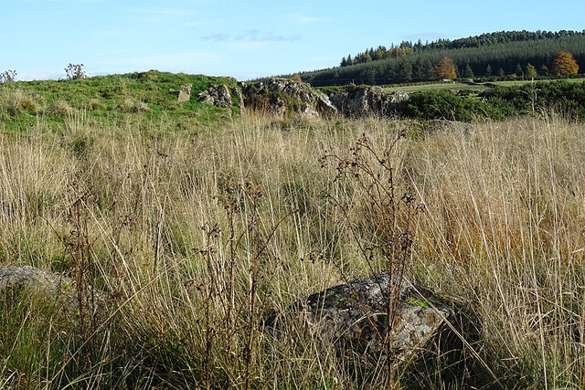
Image: © Anne Burgess Taken: 30 Oct 2020
This is the south end of a low hummock that seems to have been quarried at some point. I understand that it is an intrusion of ultramafic rock within a sheet of older metagabbro belonging to the Succoth-Brown Hill Intrusion.
Images are licensed for reuse under creativecommons.org/licenses/by-sa/2.0
Image Location
Latitude
57.495458
Longitude
-2.815311