
Hodgson Avenue, Werrington, in the autumn
Introduction
The photograph on this page of Hodgson Avenue, Werrington, in the autumn by Paul Bryan as part of the Geograph project.
The Geograph project started in 2005 with the aim of publishing, organising and preserving representative images for every square kilometre of Great Britain, Ireland and the Isle of Man.

There are currently over 7.5m images from over 14,400 individuals and you can help contribute to the project by visiting https://www.geograph.org.uk
Hodgson Avenue, Werrington, in the autumn
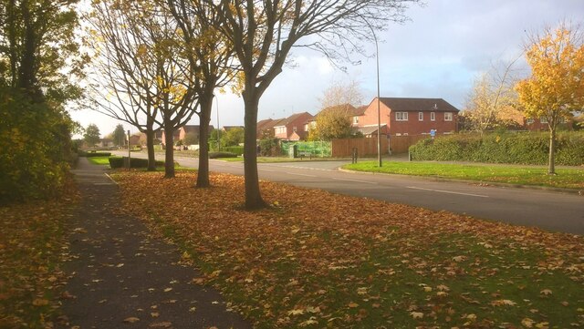
Image: © Paul Bryan Taken: 1 Nov 2020
Hodgson Avenue was constructed within the framework of extensive residential development in Werrington, a northern suburb of Peterborough, in the 1980s. It is viewed here close to the junction with Foxcovert Road. The latter is no longer a through route for motor traffic following the closure of the level crossing on the Peterborough to Lincoln line in the 1980s although pedestrians and cyclists can continue to the villages of Glinton and Peakirk by means of a footbridge over the railway line.
Images are licensed for reuse under creativecommons.org/licenses/by-sa/2.0
Image Location

Latitude
52.627658
Longitude
-0.280389