Farmland near Sittinghillock
Introduction
The photograph on this page of Farmland near Sittinghillock by Anne Burgess as part of the Geograph project.
The Geograph project started in 2005 with the aim of publishing, organising and preserving representative images for every square kilometre of Great Britain, Ireland and the Isle of Man.

There are currently over 7.5m images from over 14,400 individuals and you can help contribute to the project by visiting https://www.geograph.org.uk
Farmland near Sittinghillock
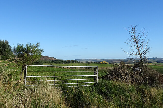
Image: © Anne Burgess Taken: 30 Oct 2020
The path emerges from the forest, and at once the views over the surrounding land open up.
Images are licensed for reuse under creativecommons.org/licenses/by-sa/2.0
Image Location
Latitude
57.516551
Longitude
-2.871539