Green Hill Mount
Introduction
The photograph on this page of Green Hill Mount by Stephen Craven as part of the Geograph project.
The Geograph project started in 2005 with the aim of publishing, organising and preserving representative images for every square kilometre of Great Britain, Ireland and the Isle of Man.

There are currently over 7.5m images from over 14,400 individuals and you can help contribute to the project by visiting https://www.geograph.org.uk
Green Hill Mount
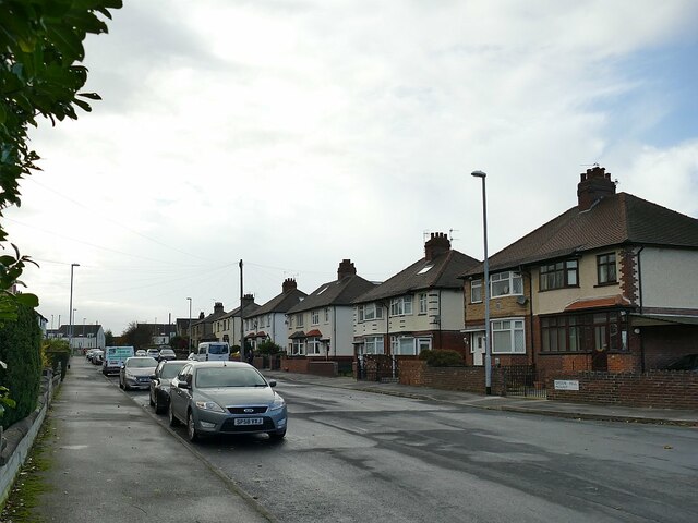
Image: © Stephen Craven Taken: 1 Nov 2020
This used to be a through road to Stanningley Road but since the latter was realigned to be the start of the Stanningley Bypass, Green Hill Mount is a dead-end street (behind the camera).
Images are licensed for reuse under creativecommons.org/licenses/by-sa/2.0
Image Location
Latitude
53.804031
Longitude
-1.618693