Powerzone on Cranbrook Road, Ilford
Introduction
The photograph on this page of Powerzone on Cranbrook Road, Ilford by David Howard as part of the Geograph project.
The Geograph project started in 2005 with the aim of publishing, organising and preserving representative images for every square kilometre of Great Britain, Ireland and the Isle of Man.

There are currently over 7.5m images from over 14,400 individuals and you can help contribute to the project by visiting https://www.geograph.org.uk
Powerzone on Cranbrook Road, Ilford
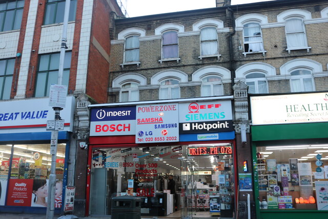
Image: © David Howard Taken: 31 Oct 2020
Under the current lockdown they have cut down this half of Cranbrook Road into a single lane so people can walk in the road. As a result the traffic is backed up for 5-10 minutes just at the weekend.
Images are licensed for reuse under creativecommons.org/licenses/by-sa/2.0
Image Location
Latitude
51.560379
Longitude
0.069448