Trent Valley Waterway
Introduction
The photograph on this page of Trent Valley Waterway by Richard Croft as part of the Geograph project.
The Geograph project started in 2005 with the aim of publishing, organising and preserving representative images for every square kilometre of Great Britain, Ireland and the Isle of Man.

There are currently over 7.5m images from over 14,400 individuals and you can help contribute to the project by visiting https://www.geograph.org.uk
Trent Valley Waterway
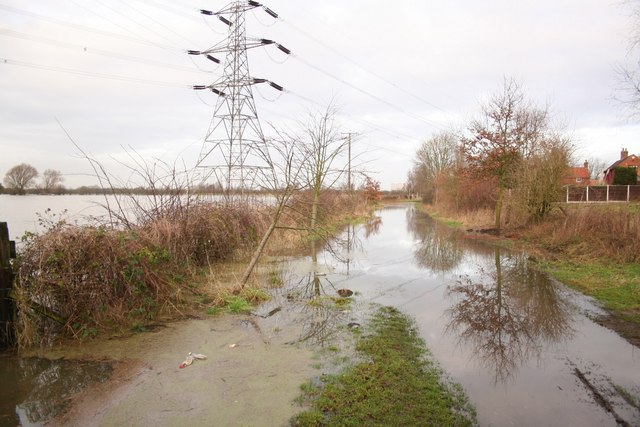
Image: © Richard Croft Taken: 23 Jan 2008
The Trent Valley Way at Girton - passable by boat, but not on foot during flooding in January 2008
Images are licensed for reuse under creativecommons.org/licenses/by-sa/2.0
Image Location
Latitude
53.187151
Longitude
-0.768299