Path towards the estuary in Greenodd
Introduction
The photograph on this page of Path towards the estuary in Greenodd by Stephen Craven as part of the Geograph project.
The Geograph project started in 2005 with the aim of publishing, organising and preserving representative images for every square kilometre of Great Britain, Ireland and the Isle of Man.

There are currently over 7.5m images from over 14,400 individuals and you can help contribute to the project by visiting https://www.geograph.org.uk
Path towards the estuary in Greenodd
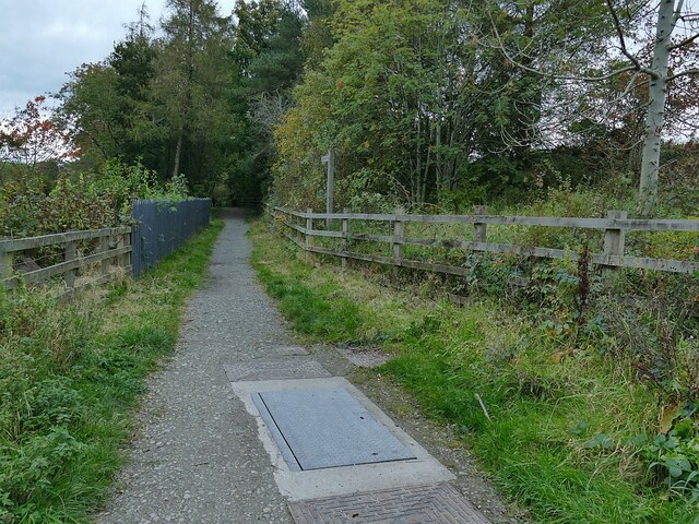
Image: © Stephen Craven Taken: 11 Oct 2020
This forms part of national cycle routes 70 and 700. There appears to be some significant utility infrastructure - probably water mains - beneath the path.
Images are licensed for reuse under creativecommons.org/licenses/by-sa/2.0
Image Location
Latitude
54.232972
Longitude
-3.052528