Cycle route sign, Main Street, Greenodd
Introduction
The photograph on this page of Cycle route sign, Main Street, Greenodd by Stephen Craven as part of the Geograph project.
The Geograph project started in 2005 with the aim of publishing, organising and preserving representative images for every square kilometre of Great Britain, Ireland and the Isle of Man.

There are currently over 7.5m images from over 14,400 individuals and you can help contribute to the project by visiting https://www.geograph.org.uk
Cycle route sign, Main Street, Greenodd
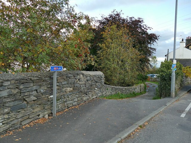
Image: © Stephen Craven Taken: 11 Oct 2020
The sign is for national cycle routes 70 (Barrow in Furness to Sunderland) and 700 (the Morecambe Bay Cycleway). They lead rather unpromisingly down a back alley, but after a few twists and turns eventually pick up the former Furness railway route towards Newby Bridge.
Images are licensed for reuse under creativecommons.org/licenses/by-sa/2.0
Image Location
Latitude
54.233057
Longitude
-3.053144