West Godolphin mine
Introduction
The photograph on this page of West Godolphin mine by Malcolm Kewn as part of the Geograph project.
The Geograph project started in 2005 with the aim of publishing, organising and preserving representative images for every square kilometre of Great Britain, Ireland and the Isle of Man.

There are currently over 7.5m images from over 14,400 individuals and you can help contribute to the project by visiting https://www.geograph.org.uk
West Godolphin mine
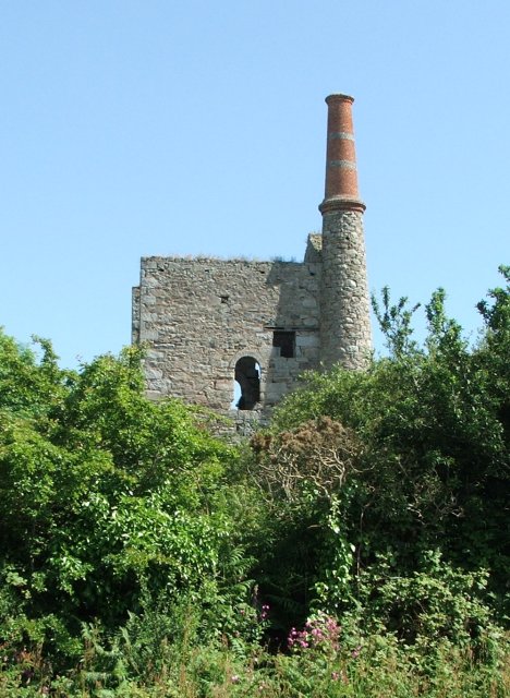
Image: © Malcolm Kewn Taken: 22 Jun 2005
The pumping engine house of West Godolphin mine, also known as Wheal Junket, seen from the nearby minor road.
Images are licensed for reuse under creativecommons.org/licenses/by-sa/2.0
Image Location


Leaflet Map data © OpenStreetMap
Latitude
50.134906
Longitude
-5.381648