
Track to Langdale
Introduction
The photograph on this page of Track to Langdale by Andy Waddington as part of the Geograph project.
The Geograph project started in 2005 with the aim of publishing, organising and preserving representative images for every square kilometre of Great Britain, Ireland and the Isle of Man.

There are currently over 7.5m images from over 14,400 individuals and you can help contribute to the project by visiting https://www.geograph.org.uk
Track to Langdale
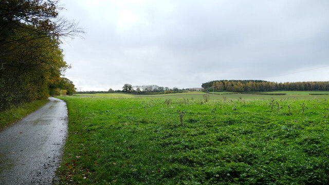
Image: © Andy Waddington Taken: 30 Oct 2020
The public footpath from Melsonby to Aldbrough St. John follows this private road to Langdale for half a mile, alongside a strip of grass left free of crops and marked "gallop" on the map. At the far end of the field, a young lady and her pony, who had been checking their mobile phone as I passed by, are now trotting rather than galloping around the edge of the field. In the distance, woodland west of High Langdale is a mix of Larch showing yellow autumn colours, with a background of evergreen conifers, providing contrast.
Images are licensed for reuse under creativecommons.org/licenses/by-sa/2.0
Image Location

Latitude
54.478695
Longitude
-1.7052