Chirton Burn near The Parks Sports Centre, North Shields
Introduction
The photograph on this page of Chirton Burn near The Parks Sports Centre, North Shields by Geoff Holland as part of the Geograph project.
The Geograph project started in 2005 with the aim of publishing, organising and preserving representative images for every square kilometre of Great Britain, Ireland and the Isle of Man.

There are currently over 7.5m images from over 14,400 individuals and you can help contribute to the project by visiting https://www.geograph.org.uk
Chirton Burn near The Parks Sports Centre, North Shields
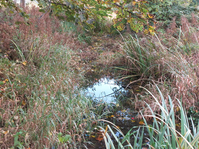
Image: © Geoff Holland Taken: 30 Oct 2020
This is the first sighting hereabouts of the Chirton Burn which, at this point, has just emerged from a small culvert. When the first edition of the Ordnance Survey Six-Inch map of the area was published in 1865 this area was clearly shown as 'Chirton Dene' with 'Chirtondene House' standing at its head. This dene and burn have, since 1998, become a central feature of Chirton Dene Park, part of the Royal Quay's Regeneration Project. The park has water as its central theme, with the aptly titled 'Water Landscape' first appearing as a mountain stream, followed by reed beds, a central pool, a cadence and a boggy area, before culminating in a series of cascades which tumble down to the Albert Edward Dock. For a selection of detailed free to download walking routes in the area visit www.northtynesidewalks.co.uk
Images are licensed for reuse under creativecommons.org/licenses/by-sa/2.0
Image Location
Latitude
55.001409
Longitude
-1.459229