Grazing field beside Outputs Lane
Introduction
The photograph on this page of Grazing field beside Outputs Lane by Robert Graham as part of the Geograph project.
The Geograph project started in 2005 with the aim of publishing, organising and preserving representative images for every square kilometre of Great Britain, Ireland and the Isle of Man.

There are currently over 7.5m images from over 14,400 individuals and you can help contribute to the project by visiting https://www.geograph.org.uk
Grazing field beside Outputs Lane
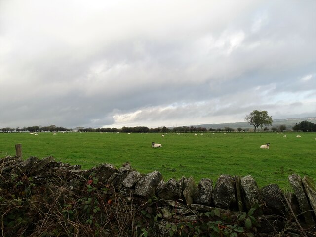
Image: © Robert Graham Taken: 20 Oct 2020
On the north side, just west of Dyke Nook farm. The farmland around here has an upland feel due to the mainly pastoral use and the dry stone walls along the roadside.
Images are licensed for reuse under creativecommons.org/licenses/by-sa/2.0
Image Location
Latitude
54.823842
Longitude
-1.828608