Vicarage Farm field
Introduction
The photograph on this page of Vicarage Farm field by James Emmans as part of the Geograph project.
The Geograph project started in 2005 with the aim of publishing, organising and preserving representative images for every square kilometre of Great Britain, Ireland and the Isle of Man.

There are currently over 7.5m images from over 14,400 individuals and you can help contribute to the project by visiting https://www.geograph.org.uk
Vicarage Farm field
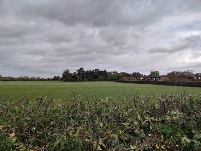
Image: © James Emmans Taken: 31 Oct 2020
Field between Halliford Road and School Walk at the northern boundary. The tall dark trees in the centre are in Sunbury Cemetery.
Images are licensed for reuse under creativecommons.org/licenses/by-sa/2.0
Image Location
Latitude
51.403329
Longitude
-0.419004