Benchmark Chudleigh
Introduction
The photograph on this page of Benchmark Chudleigh by Sheron Vowden as part of the Geograph project.
The Geograph project started in 2005 with the aim of publishing, organising and preserving representative images for every square kilometre of Great Britain, Ireland and the Isle of Man.

There are currently over 7.5m images from over 14,400 individuals and you can help contribute to the project by visiting https://www.geograph.org.uk
Benchmark Chudleigh
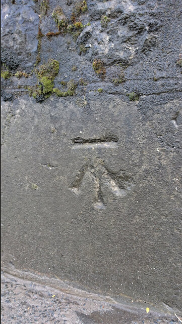
Image: © Sheron Vowden Taken: 30 Oct 2020
WALL SE SIDE RD NE SIDE HO BRYN (in OS database) - 61.1 m ASL - Station Hill. Near the Garden Centre/Nursery
Images are licensed for reuse under creativecommons.org/licenses/by-sa/2.0
Image Location
Latitude
50.598456
Longitude
-3.607039