River Thurso beside The Mall Walk, Thurso
Introduction
The photograph on this page of River Thurso beside The Mall Walk, Thurso by Julian Paren as part of the Geograph project.
The Geograph project started in 2005 with the aim of publishing, organising and preserving representative images for every square kilometre of Great Britain, Ireland and the Isle of Man.

There are currently over 7.5m images from over 14,400 individuals and you can help contribute to the project by visiting https://www.geograph.org.uk
River Thurso beside The Mall Walk, Thurso
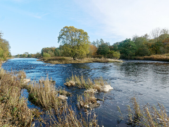
Image: © Julian Paren Taken: 29 Oct 2020
The Mall Walk provides a circular walk along the banks of the River Thurso, and this is from one bank looking towards the hidden footpath on the opposite bank.
Images are licensed for reuse under creativecommons.org/licenses/by-sa/2.0
Image Location
Latitude
58.5873
Longitude
-3.527595