The Essex Way east of Plumb's Farm
Introduction
The photograph on this page of The Essex Way east of Plumb's Farm by Tim Heaton as part of the Geograph project.
The Geograph project started in 2005 with the aim of publishing, organising and preserving representative images for every square kilometre of Great Britain, Ireland and the Isle of Man.

There are currently over 7.5m images from over 14,400 individuals and you can help contribute to the project by visiting https://www.geograph.org.uk
The Essex Way east of Plumb's Farm
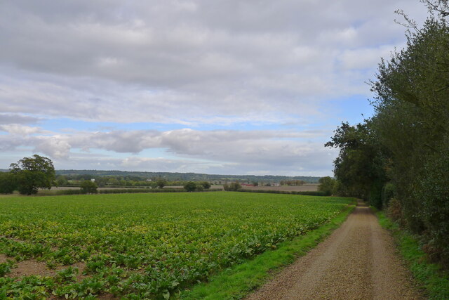
Image: © Tim Heaton Taken: 15 Oct 2020
In the Dedham Vale AONB, looking towards the Stour valley ahead.
Images are licensed for reuse under creativecommons.org/licenses/by-sa/2.0
Image Location
Latitude
51.962036
Longitude
0.937747