Albion Street, Chester
Introduction
The photograph on this page of Albion Street, Chester by Stephen Richards as part of the Geograph project.
The Geograph project started in 2005 with the aim of publishing, organising and preserving representative images for every square kilometre of Great Britain, Ireland and the Isle of Man.

There are currently over 7.5m images from over 14,400 individuals and you can help contribute to the project by visiting https://www.geograph.org.uk
Albion Street, Chester
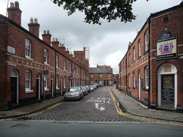
Image: © Stephen Richards Taken: 18 Aug 2014
Part of a "neat working-class area of patterned brick", built up from 1865. On the corner is the Albion Inn. The turret at the end belongs to a former drill hall.
Images are licensed for reuse under creativecommons.org/licenses/by-sa/2.0
Image Location
Latitude
53.187954
Longitude
-2.888319