Chapel and Farmhouse
Introduction
The photograph on this page of Chapel and Farmhouse by Des Blenkinsopp as part of the Geograph project.
The Geograph project started in 2005 with the aim of publishing, organising and preserving representative images for every square kilometre of Great Britain, Ireland and the Isle of Man.

There are currently over 7.5m images from over 14,400 individuals and you can help contribute to the project by visiting https://www.geograph.org.uk
Chapel and Farmhouse
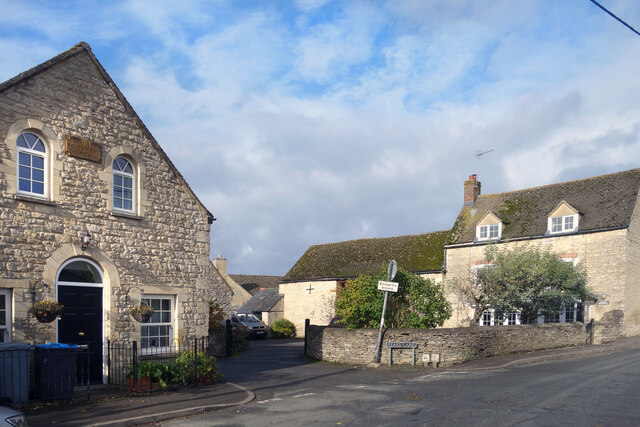
Image: © Des Blenkinsopp Taken: 28 Oct 2020
Former Primitive Methodist Chapel, from 1853, and Sothams Farmhouse. Nice old buildings in the centre of Stonesfield.
Images are licensed for reuse under creativecommons.org/licenses/by-sa/2.0
Image Location
Latitude
51.852728
Longitude
-1.429229