Aimbank
Introduction
The photograph on this page of Aimbank by Andy Waddington as part of the Geograph project.
The Geograph project started in 2005 with the aim of publishing, organising and preserving representative images for every square kilometre of Great Britain, Ireland and the Isle of Man.

There are currently over 7.5m images from over 14,400 individuals and you can help contribute to the project by visiting https://www.geograph.org.uk
Aimbank
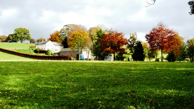
Image: © Andy Waddington Taken: 28 Oct 2020
The public footpath runs along the bottom of the garden of Aimbank and sets off up the middle of the field at the point the photograph was taken. Interestingly, the GPS I was using to geolocate photographs shows 1:50000 mapping which has the footpath passing through the farm, so it would appear to have been (sensibly) redirected fairly recently.
Images are licensed for reuse under creativecommons.org/licenses/by-sa/2.0
Image Location
Latitude
54.805194
Longitude
-2.73613