Farm track
Introduction
The photograph on this page of Farm track by Lairich Rig as part of the Geograph project.
The Geograph project started in 2005 with the aim of publishing, organising and preserving representative images for every square kilometre of Great Britain, Ireland and the Isle of Man.

There are currently over 7.5m images from over 14,400 individuals and you can help contribute to the project by visiting https://www.geograph.org.uk
Farm track
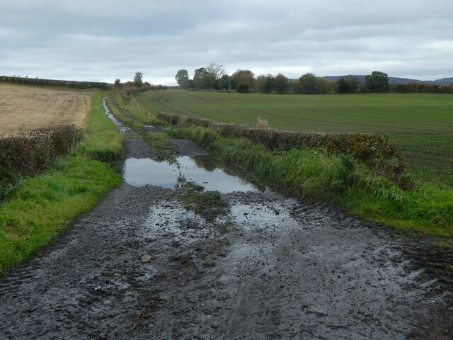
Image: © Lairich Rig Taken: 17 Oct 2020
It branches off Greenock Road, with Image to its left (west). The track is shown under better conditions in Image My thoughts on looking at the track on the map were that it led to something that is no longer there; the obvious gap (see the 1:25000 map in particular) is at about Image, and the first-edition OS map, surveyed in 1857, confirms that a farm called Freeland(*) stood there. Freeland appears on OS maps until at least 1939. By means of aerial photography, traces of a far older settlement were discovered in the fields to the right (east) of the track: see https://canmore.org.uk/site/280312 at Canmore for aerial photos, and http://www.wosas.net/wosas_site.php?id=55348 at WoSAS for further description. (*) Freeland Farm is presumably what is commemorated by the name of Freeland Drive in Inchinnan: Image The farm appears on the Blaeu map of "Renfroana" (1654, but based on surveys c.1600) as Friland. It appears as Freeland on Roy's Military Survey of Scotland (c.1740s—50s).
Images are licensed for reuse under creativecommons.org/licenses/by-sa/2.0
Image Location
Latitude
55.886425
Longitude
-4.452754