Great Whittington
Introduction
The photograph on this page of Great Whittington by Andrew Curtis as part of the Geograph project.
The Geograph project started in 2005 with the aim of publishing, organising and preserving representative images for every square kilometre of Great Britain, Ireland and the Isle of Man.

There are currently over 7.5m images from over 14,400 individuals and you can help contribute to the project by visiting https://www.geograph.org.uk
Great Whittington
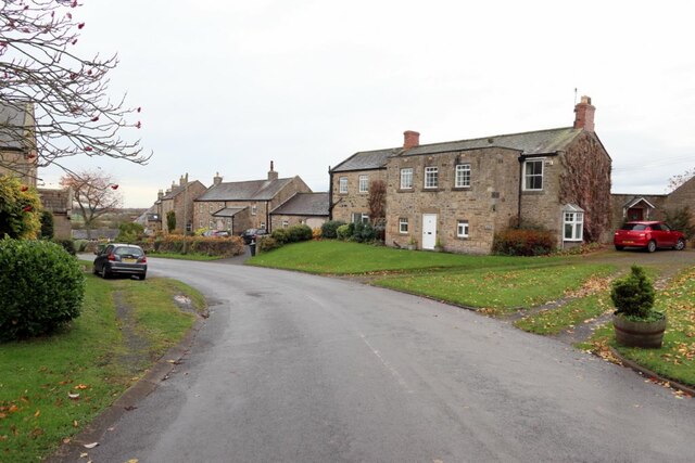
Image: © Andrew Curtis Taken: 28 Oct 2020
The Ordnance Survey Name Book (c.1860) recorded the village as consisting of four farmhouses, several cottages, a Methodist Chapel, an Inn (The Queen's Head Image), and a public house (The Bay Horse). http://namebooks.org.uk/browse/main/?OSref=355&Page=15.0 The building on the right side is Kirsopp House.
Images are licensed for reuse under creativecommons.org/licenses/by-sa/2.0
Image Location
Latitude
55.031545
Longitude
-1.993556