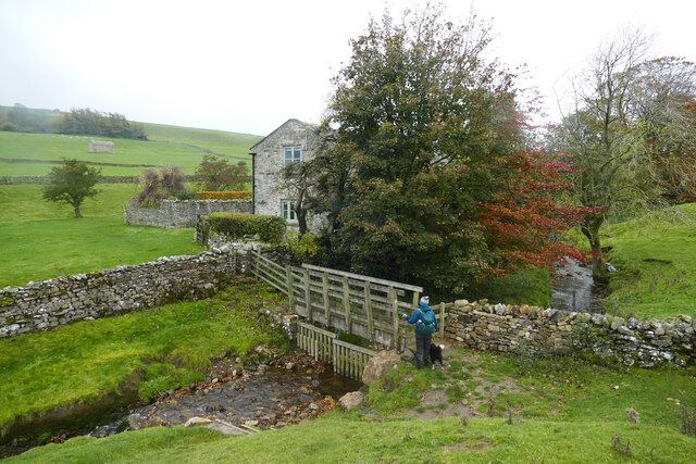
Footbridge at Ellers
Introduction
The photograph on this page of Footbridge at Ellers by Andy Waddington as part of the Geograph project.
The Geograph project started in 2005 with the aim of publishing, organising and preserving representative images for every square kilometre of Great Britain, Ireland and the Isle of Man.
There are currently over 7.5m images from over 14,400 individuals and you can help contribute to the project by visiting https://www.geograph.org.uk

Image: © Andy Waddington Taken: 24 Oct 2020
The public footpath from Marrick to the Marske road passes over a stream by this footbridge at Ellers. Immediately upstream, the stream is called Ellers Beck, but some distance downstream (perhaps immediately below the bridge) it is called North Gill. Quite a way upstream, it started life as Dales Beck, and before joining the River Swale as a left bank tributary, it has become Oxque Gill. Four different names in only four kilometres !

