Woodland near Earsdon Road, Whitley Bay
Introduction
The photograph on this page of Woodland near Earsdon Road, Whitley Bay by Geoff Holland as part of the Geograph project.
The Geograph project started in 2005 with the aim of publishing, organising and preserving representative images for every square kilometre of Great Britain, Ireland and the Isle of Man.

There are currently over 7.5m images from over 14,400 individuals and you can help contribute to the project by visiting https://www.geograph.org.uk
Woodland near Earsdon Road, Whitley Bay
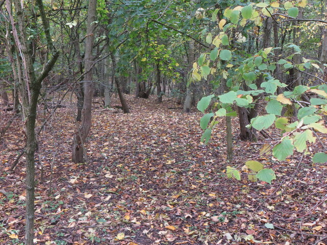
Image: © Geoff Holland Taken: 27 Oct 2020
This woodland was planted many years ago by North Tyneside Council in anticipation of the future development for housing of the land immediately to the north east. It acts as a buffer zone between the busy Earsdon Road and the now established housing estate. For a selection of detailed free to download walking routes in the area visit www.northtynesidewalks.co.uk
Images are licensed for reuse under creativecommons.org/licenses/by-sa/2.0
Image Location
Latitude
55.044023
Longitude
-1.484165